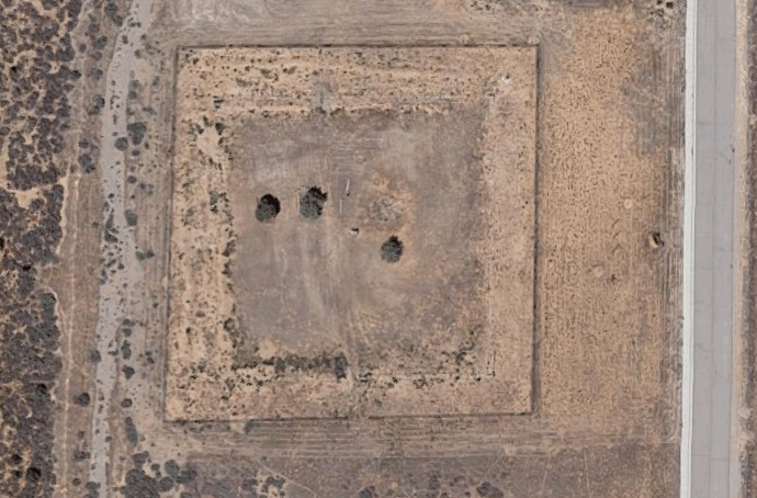
Old Iron Town
Resting in Iron County 15-20 miles west of Cedar City, Old Iron Town is not much of one anymore. With a few furnaces and a kiln remaining from its heyday as an iron operation, the town was settled by Mormon pioneers in 1868 and was abandoned by 1877. Why? The nationwide financial panic of 1874 plus a lack of viable northbound transportation sucked out its utility. Access is fairly easy in any size car, and you should be good going at any time of the year. 37°36′00″N 113°27′01″W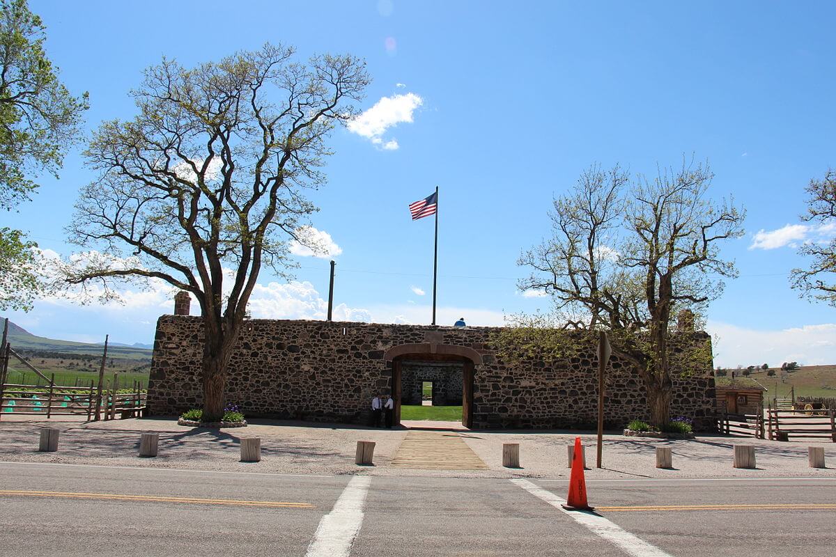
Cove Fort
Twenty-four miles north of Beaver, and just northeast of where I-15 and I-70 intersect, lies historic Cove Fort. One of the few forts from this time period still standing, this owes much to its construction. The fort is built of volcanic rock and limestone and acted as a way station for settlers, as well as a pickup/delivery for the Pony Express. The Church of Jesus Christ of Latter-Day Saints leased the fort out in 1890, eventually selling it. In 1989, the Hinckley family bought it back and donated it to the Church. It is now a historic site with free guided tours. 38°60’06”N 112°58’21”W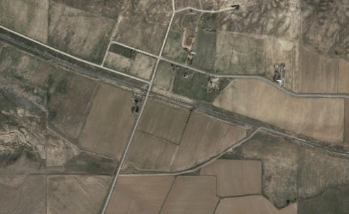
Mills
You’ll want to visit this one before the snow comes! Mills, also known as Wellington while active, was a railroad town in Juab County. After being abandoned at some point in the mid-1800’s, there are reportedly a few homes there currently, as well as being semi-active for Union Pacific trains. 39°28′58″N 112°01′41″W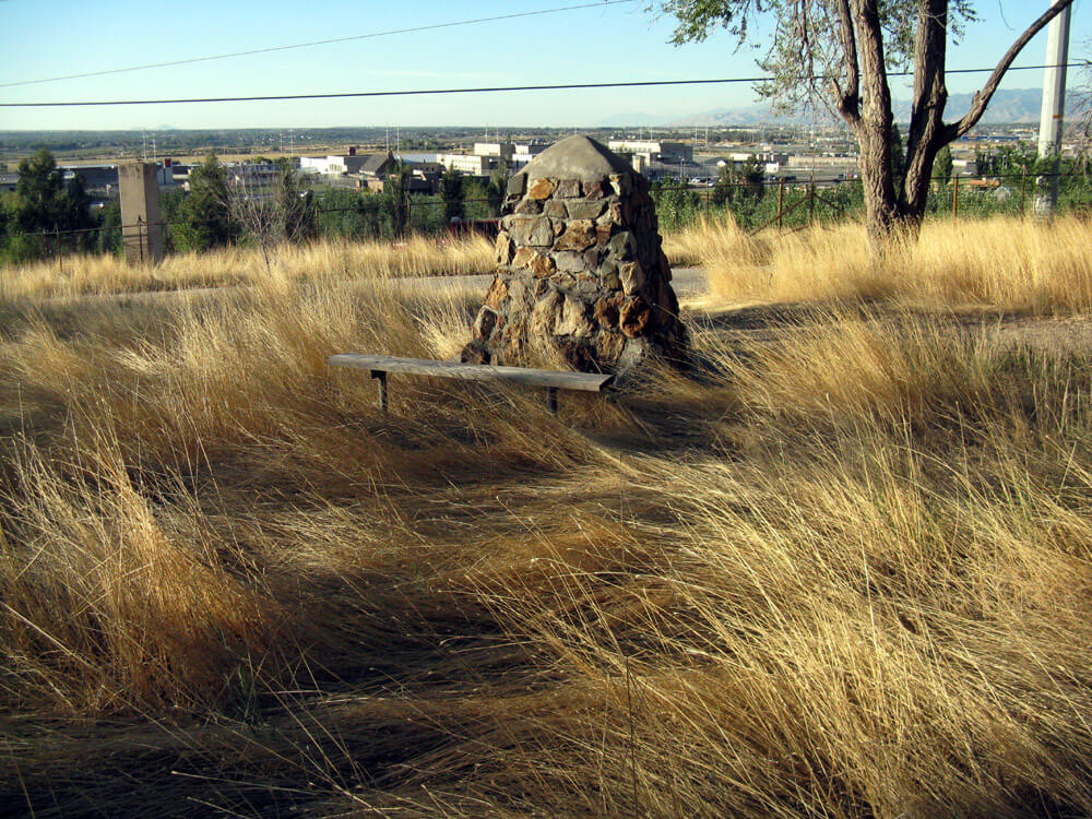
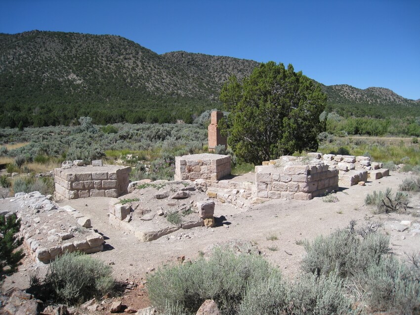
Rockwell Station
Located at the Point of the Mountain in Bluffdale, these days there isn’t much left of this brewery-turned-waystation. Orrin Porter Rockwell, a colorful character in Mormon history, took over the property and it became a station for the Overland Stage and the Pony Express. 40°29’09.7″N 111°54’01.6″W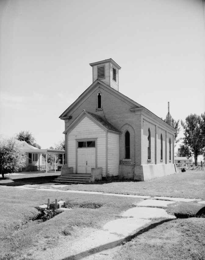
Corinne
While Mormon settlers were busy populating both future ghost towns and booming metropoles like Salt Lake and St. George, there were a few dissidents. The settlers of Corinne built the town on the Bear River in 1868 as a pointed escape from Mormon influence; members of the Church were not allowed to settle there. Founder Mark Gilmore and those that settled with him also wanted to create a railroad and steamboat center. Though the town flourished for many years, by 1903 the main road was rerouted around Corinne and the town began to dissipate. Today, there is still a lot to see in this once great ghost town. 41°33’05.5″N 112°06’43.7″W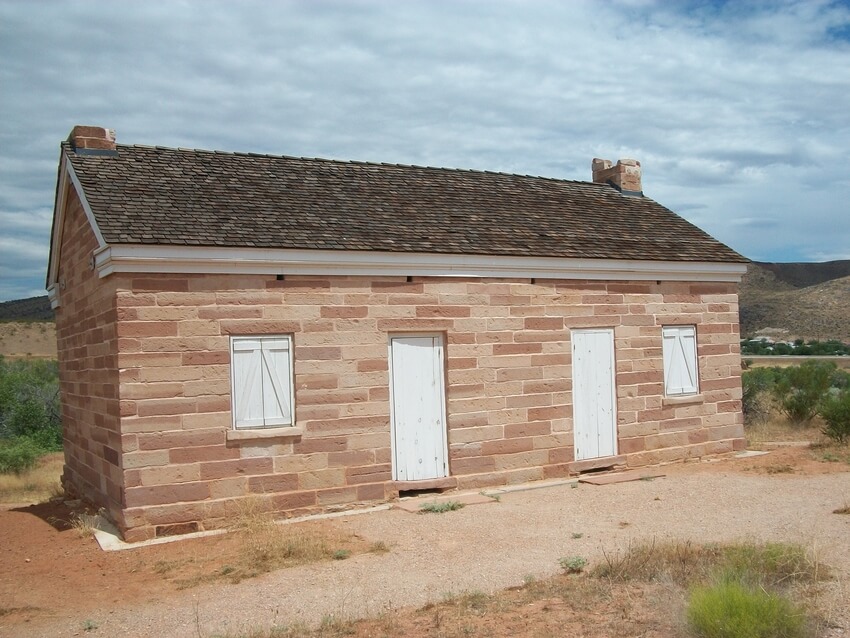
Silver Reef
This town in Washington County, like Corinne, enjoyed a fairly long and celebrated duration. Formerly established as a town in 1876, it grew to be home to over 2,000 citizens, two newspapers, and several stores, hotels, saloons, restaurants, and dance halls. While the ore mines sustained the town, the people there enjoyed moderate success. However, the last mine closed down in 1891, and over the next several years the ore was shipped out of the area and with it, the people and life of the town. Now, there are gift shops and some historic restoration for the curious tourist. 37°15’10.9″N 113°22’04.8″W